Kid's Map Creator Set 4969478

Kid's Map Creator Set 4969478
Scratch Off World Map 1834121
Ai | 35 MB RAR
Scratch off map for world in A3 standard size. Accurate cartographic detail. Just print the map and sell the physical product on your store. The files are Adobe Illustrator CS3 format with editable text. The content is layered.
3D Map Generator - Atlas - From Heightmap To Real 3D Map V1.4 (With April 21 2020 Update)
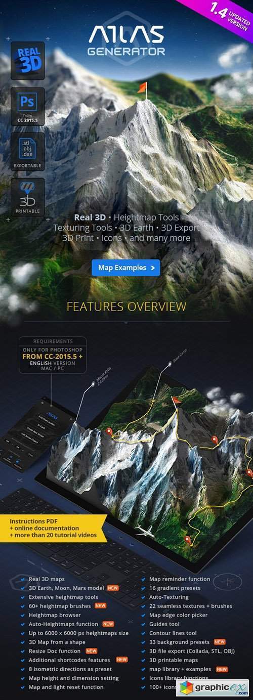
3D Map Generator - Atlas - From Heightmap To Real 3D Map V1.4 22277498 (With April 21 2020 Update)
Layered PSD | Transparent PNG | JPG Image | Photoshop ABR | Photoshop ASL | Photoshop JSX
Works With : PSD
The 3D Map-Generator – Atlas uses the Photoshop internal 3D engine and now finally lives up to it’s name. Together with the advanced tools of its predecessor TERRAIN in combination with the heightmapper it is unbeatably the best 3D Map Generator.
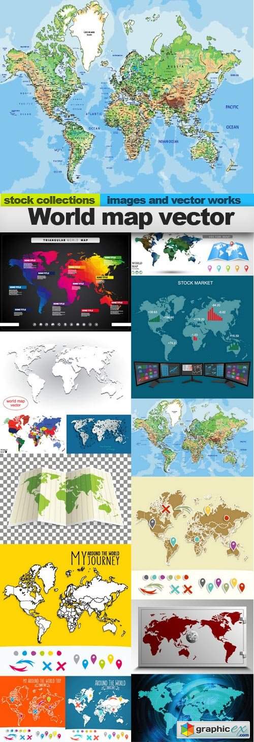
World map vector, 15 x EPS
15 EPS | 165 MB

National flag country against background map world
4th July, 50 USA States Map & Design
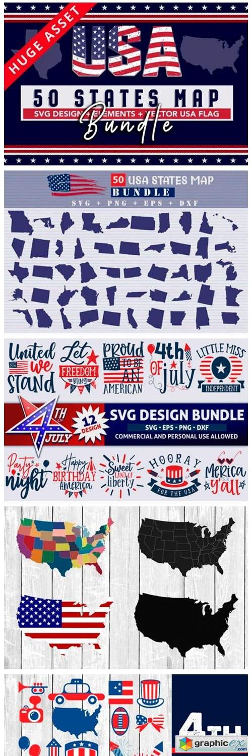

4th July, 50 USA States Map & Design 2953643
This set of 4th July T-shirt design bundle/ Elements collections and USA map includes 50 States and vector Flag! Use these beautiful elements to easily create unique, designs. All elements are high-quality 300dpi files, suitable for print or digital projects.

Wedding Map Creator 1948707
Wedding map creator – hand drawn collection with 137 wedding elements, 4 seamless patterns and 11 ready cards. If you want to create a card for your wedding, this collection is for you! You should add elements, shapes, roads, text and you get your own beautiful card! For more convenient use, all items are in png with transparent background. Wedding map creator is a hand drawn collection that can be widely used for: wedding branding or logo, invitation cards, big day program, fabrics, tags, timeline, travel maps. You will get cozy design which will make the Big Day even warmer. Create and enjoy!
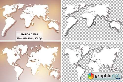
3D World Maps
3840(W) x 2160(H) Pixels, 3D World Maps
4 Images included
2 Jpeg, 2 Transparent PNG included
2 World Map with Background, 2 World Map with Transparency for greater use
Works great for Print, Wallpaper, etc…
300 dpi, Size : 3840(W) x 2160(H) Pixels
JPG Image | Transparent PNG | 3840×2160
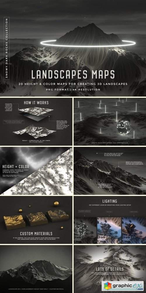
Set of 20 Landscapes maps 2201379
This set is a way to create landscapes easily in your 3D software, using just 2 PNG textures. The concept is the following: for each landscape, there are two maps (or textures): a color map (for texturing the landscape), and a height (displacement) map, that deforms the geometry of the object it's applied to, based on greyscale values. Lighter values represent higher mountains and hills, and darker areas, lower regions of the landscape. By combining these two maps using a plane and a default material, you get a 3D landscape! The set includes a PDF document explaining how to create a landscape using these maps in Cinema 4D, however, I'm not familiar with other 3D softwares, so you may want to watch a few tutorials about displacement for more information.

3D Map Generator - Terrain from Heightmap V1.4 - 20244806 ( May 14 2018 )
CC 2014+ | Layered PSD, Transparent PNG, JPG Image, Photoshop ABR, Photoshop ASL, Photoshop JSX
Game Level Map Concept Set II
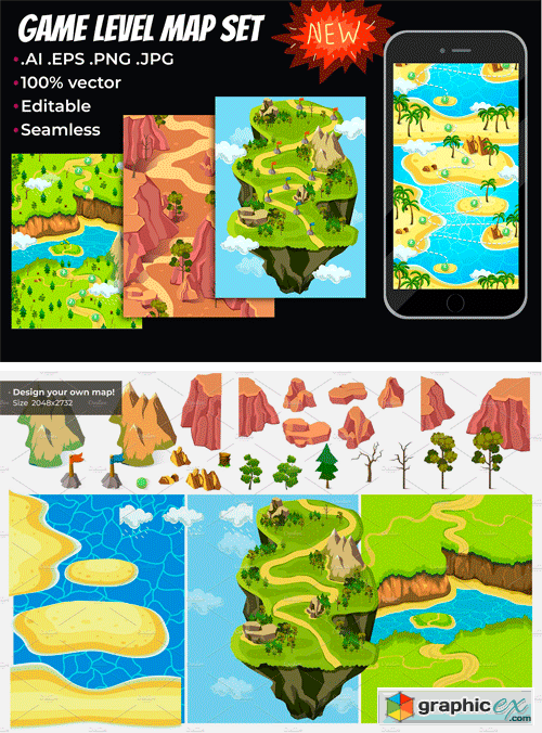
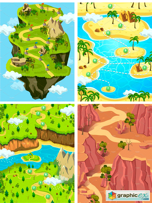
Game Level Map Concept Set II 2480954
Hello! I’m glad to present you a new collection of Game Level Map Set II. You can use this maps for a game or application project. 100% vector. You can edit it using Adobe Illustrator. File size 2048x2732. You can change it as you want, because it includes the layers, you can easily operate the effect with.Parallax. Compatibility with Adobe Illustrator CS and above. These are separate elements with transparent background, which is really useful when assemble in Photoshop.
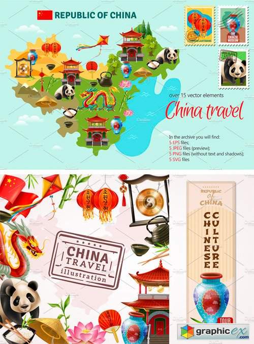
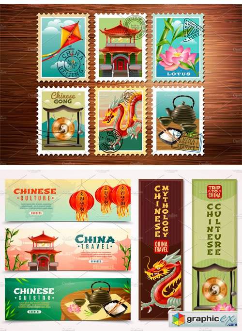
China Travel Set 2113774
Set of China travel symbols, landmarks and iconic objects. Available in JPG, EPS, PNG and SVG formats.
Map of South Asia and Near East
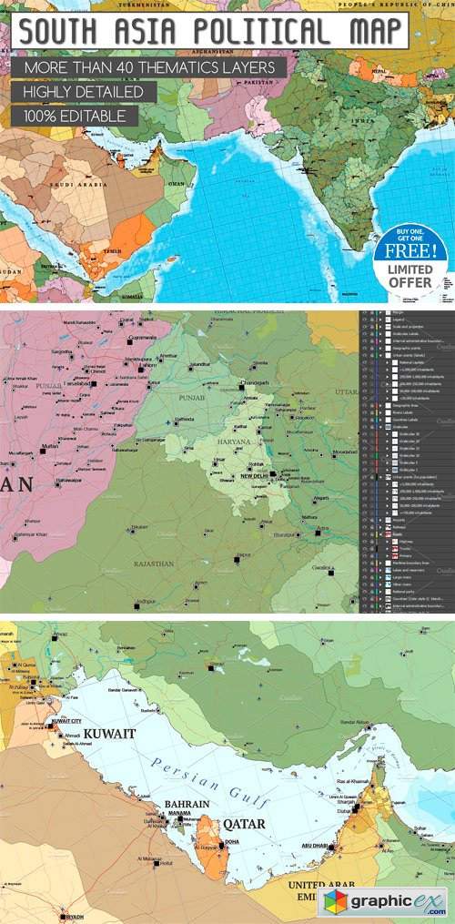
Map of South Asia and Near East 2164289
Large scale South Asia and Near East political map multi-layered in editable vector format. Highly detailed, ideal for illustrations, prints and multimedia projects. 100% editable including font text for ease of use. Map with more than 1,000 cities, major roads, railways and sea routes.
City module creator school town

City module creator school town 2256368
EPS PNG | 126 MB RAR
City module creator isometric school city concept of urban infrastructure business. Vector building illustration of river embankment with bridges of elements architecture, home, cars, construction, block and park
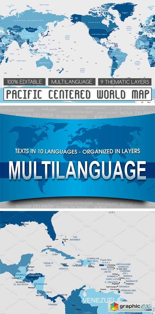
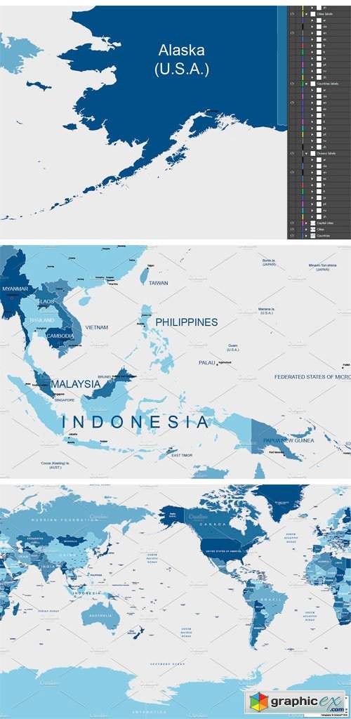
Pacific Centered World Map 2219018
World political map multi-layered and scalable to whatever size you want without losing the quality. Everything in our map is editable. Ideal for graphic design, journalism, illustrations, prints, web or multimedia projects.
City Buildings Isometric Set

City Buildings Isometric Set 2379443
PNG EPS | 56 MB ZIP
Set of isometric city buildings - isolated objects and compositions. Availalble in JPG, EPS, PNG and SVG formats.
50 Social Media Backdrops - Man Made

50 Social Media Backdrops - Man Made 2296153
If you're looking for inspiring imagery to accompany your text and posts on social media, this pack is for you. These eye-catching photographs are taken around the world by award-winning photographer Matt Palmer (that's me!).
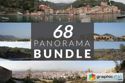
68 Panorama photos PACK 1548226
Save your time and download 68 panorama photos from our "freestockimages.eu" Pack contains 68 photos: landscape/nature beaches coasts cities -forests -mountains
Map of Asia - Central Asia
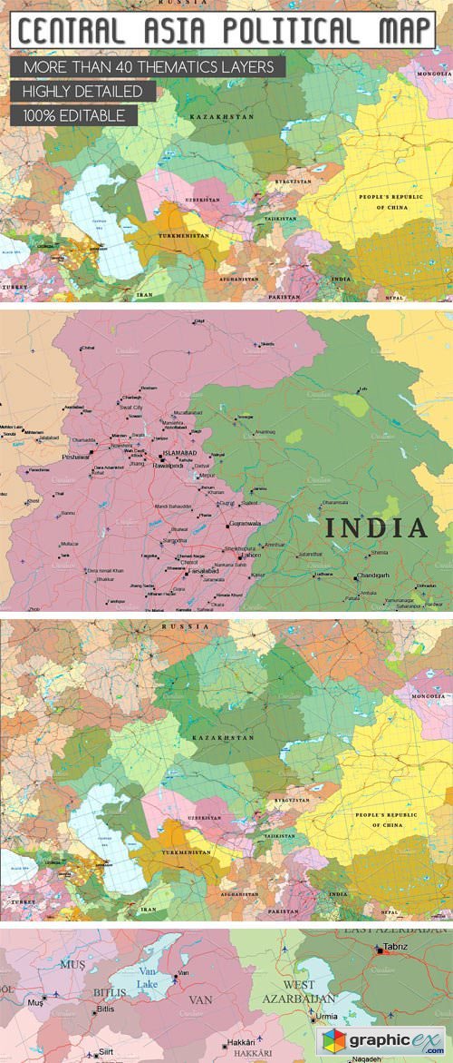
Map of Asia - Central Asia 2052896
Large scale Central Asia political map multi-layered in editable vector format. Highly detailed, ideal for illustrations, prints and multimedia projects. 100% editable including font text for ease of use.
City Bundle Module Creator
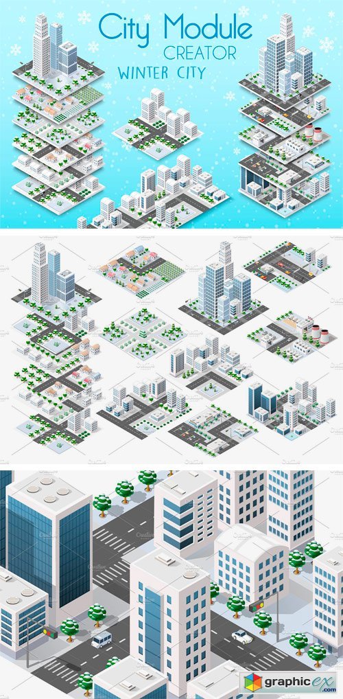
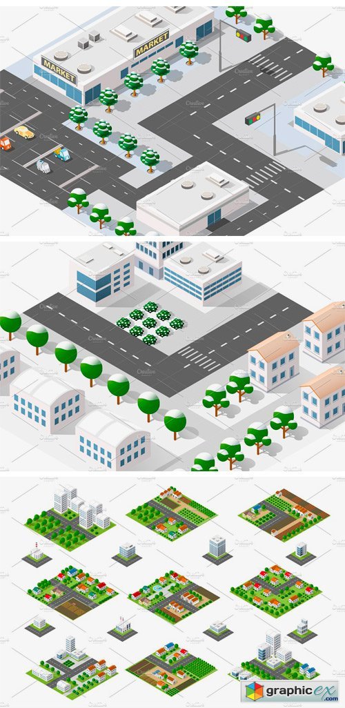
City Bundle Module Creator 1923257
City Bundle module creator isometric concept of urban infrastructure business. Vector building illustration of skyscraper and collection of urban elements architecture, home, construction, block and park. The folder includes files formats PNG, SVG, JPG, Eps, Ai.
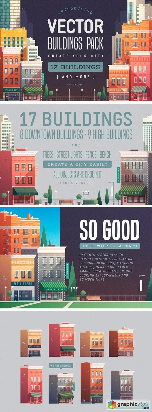
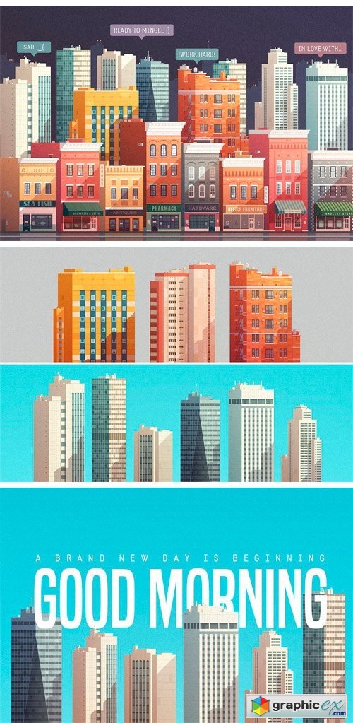
Vector Buildings Pack 1762969
VECTOR BUILDINGS PACK is the pack of vector buildings, city objects, and trees, which allows you to create your own city. Use this vector pack to rapidly design illustration for your blog post, magazine article, banner or header image for a website, unique looking infographics and so much more. All elements are vector and can be resized or edited. Format: EPS 10, JPEG.
The Vintage Nautical Map Maker
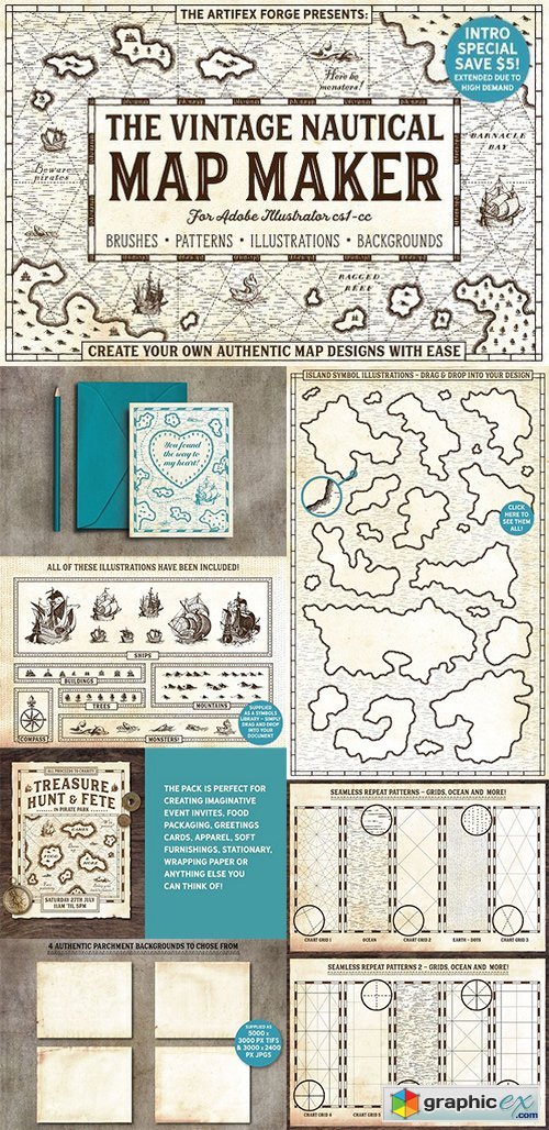
The Vintage Nautical Map Maker 1671313
Ai TIFF | 313 MB RAR
City Map Isometric Elements Set
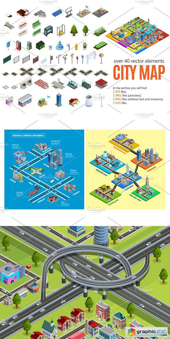
City Map Isometric Elements Set 1632178
SVG, PNG

Build Your Own City - 7 EPS
7 EPS | PREVIEW | 28 MB
Silhouettes of Skyline Cityscapes 20

Silhouettes of Skyline Cityscapes 20
5 AI | +TIFF Preview | 56 MB
Political map of the world vector, 15 x EPS

Political map of the world vector, 15 x EPS
15 EPS | 285 MB
Winter city street - 7 EPS

Winter city street - 7 EPS
7 EPS | PREVIEW | 49 MB

Office building with an entrance and reflection 3 - 31 EPS
31 EPS | PREVIEW | 127 MB
Various Grunge Cityscapes 2
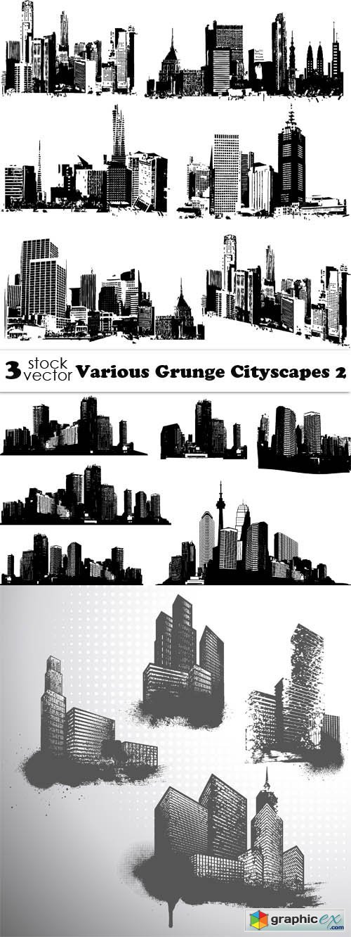
Various Grunge Cityscapes 2
3 AI | +TIFF Preview | 56 MB

Office building with an entrance and reflection 2 - 31 EPS
31 EPS | PREVIEW | 138 MB
Office building with an entrance and reflection - 30 EPS

Office building with an entrance and reflection - 30 EPS
30 EPS | PREVIEW | 118 MB
Various Isometric Buildings 10

Various Isometric Buildings 10
3 AI | +TIFF Preview | 71 MB

Flat isometric map, landscape city, building skyscraper - 24 EPS
24 EPS | PREVIEW | 105 MB

Flat isometric map, landscape city, building skyscraper 2 - 31 EPS
31 EPS | PREVIEW | 191 MB
Dot Infographics Countries, Flag & Map 2 - 23xEPS

Dot Infographics Countries, Flag & Map 2 - 23xEPS
 User Panel